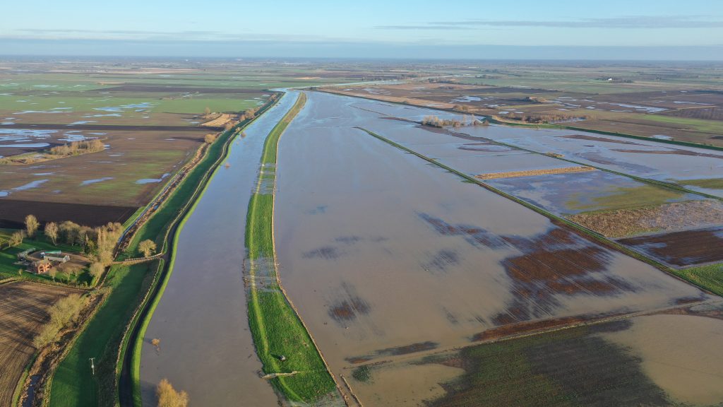
There’s been reports of rivers bursting their banks in South Holland.
The River Welland has overflowed on to Cowbit Wash flood plains while near Quadring the Footy Foot Drain has spilled in to fields.
The Environment Agency has issued a ‘flooding expected’ warning over the drain saying it could affect some homes.
The warning is for isolated properties and villages east of the South Forty Foot and tributaries including property around Baker’s Bridge, West Low Grounds, Bicker Fen, Surfleet Fen, Pinchbeck North Fen, Northgate and Bourne North Fen.

Photographer Steve Daniels sent in the images from Dunsby Fen which is flooded.
A spokesman for the Environment Agency said: “Storm Henk has brought heavy rain in the South Forty Foot catchment, which has fallen onto already saturated ground.
“This has caused the South Forty Foot to rise, and is forecast to remain high throughout today. Low lying areas near to the river are already flooded. Properties on Milking Nook Drove and Spalding road in Bourne are expected to be affected first. Please avoid contact with flood water.
“Our staff are out in the area to check the flood defences, clear blockages, and assist the emergency services and council. We will be closely monitoring the situation and this message will be updated online and on FloodLine by 16:00 on January 4, or before if the situation changes.”

The Environment Agency have so far only issued a ‘flooding alert’ for the Welland and Glen stating ‘flooding is possible’.
Cowbit Wash is deliberately kept free of development so it can flood there rather than elsewhere downstream.
A spokesman said: “Our forecasts indicate that flooding inside properties is possible and therefore flood warnings have been issued. We are constantly monitoring river levels and have staff in the field checking for blockages and clearing weedscreens. Please avoid using low lying footpaths near local watercourses and plan driving routes to avoid low lying roads near rivers, which may be flooded.”


