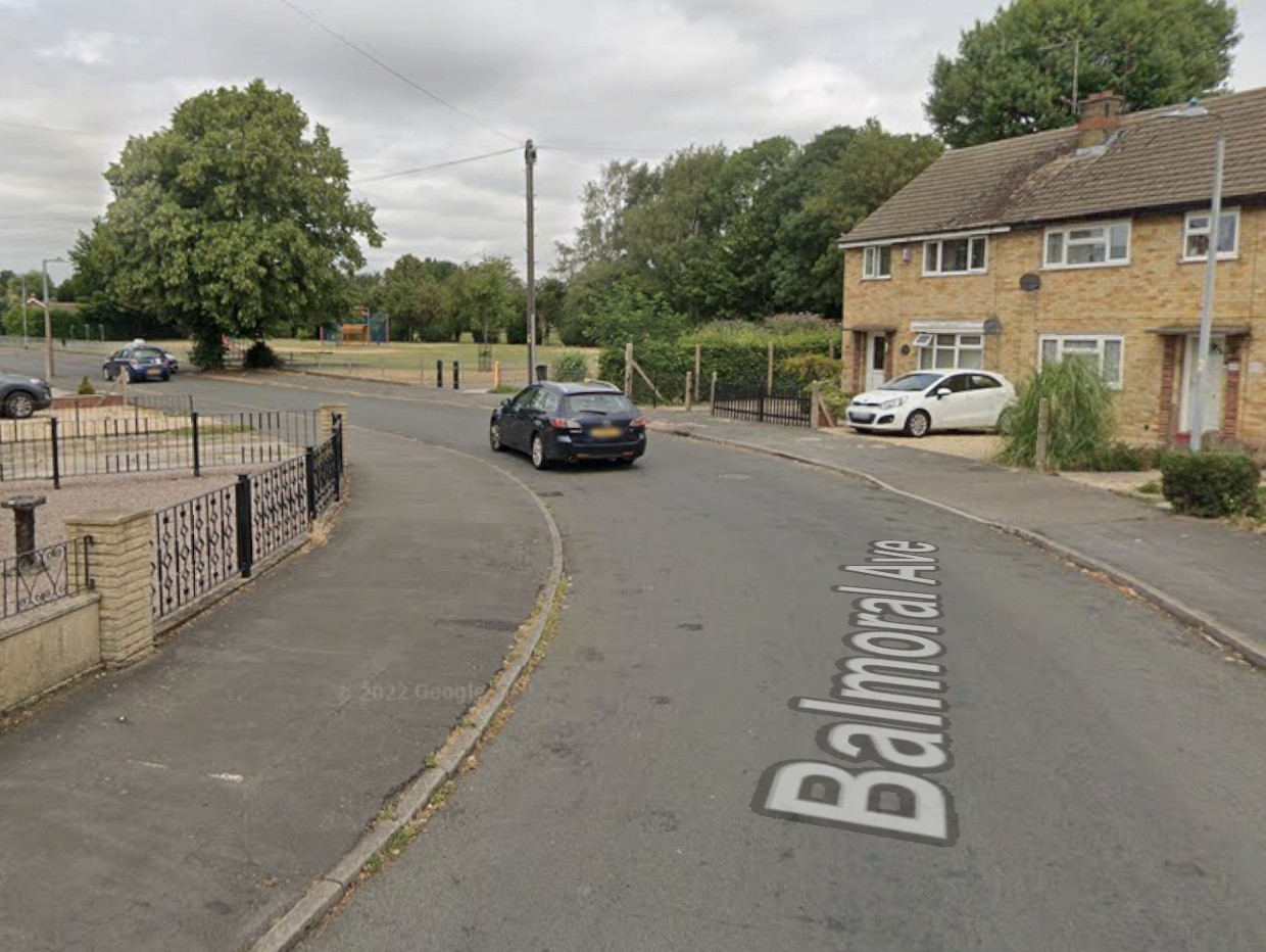
A housing development in Quadring that was previously refused planning permission due to worries over flooding, has now been passed due to what has been called “a different way of reading the data.”
The outline application for up to 34 homes off St Margaret’s was initially turned down in June on flood grounds on the advice of the Environment Agency.
But South Holland District Council’s planning committee accepted officer’s recommendations to pass the plans at its meeting on Wednesday January 10.
Phil Norman, the council’s principal planning officer, told the committee: “A recent application was refused on flood risk grounds, however since then discussions with the Environment Agency have led to us adopting a different approach as to how we deal with flood risks and now this land finds itself completely free from any hazard of flood risk.
“We’ve reached a position with the Environment Agency where they are now comfortable we supply the sequential data on the basis of our hazard maps where previously it was on the their flood zone maps.
“This site is in flood zone three and there are other sites in Quadring that is in a lower flood zone as defined by the Environment Agency hence the previous refusal.
“The changed advice is that the whole of Quadring, and in fact the whole of the district really up to Donington, has no hazards on our maps.
“It’s hellishly convoluted.
“This site has no hazard rating in terms of flooding although it does sit in a flood zone three area, but there’s no risk to refuse on flood grounds.”
Gosberton Parish Council and three members of the public objected to the proposals for the site which is next to a children’s playing area.
Coun Rodney Grocock told the meeting: “It was refused before on flood risk reasons and I’m sorry but I’m finding it extremely difficult as to why they’ve changed their mind.
“I’ve been to this site quite a lot and there’s small children playing there (on the adjacent playground) constantly and there’s no fencing.
“If the access road was going through there it would be a nightmare.”
Coun Roger Gambba-Jones, chairman of the committee responded: “Basically if you wish to look to refuse this application on flooding grounds you’re on a hiding to nothing.
“We’ve now been referred to a more nuanced map.
“There’s a different way of reading the data which overrides our previous way of reading the data. That is what takes precedent.”
He also said he would look to provide more information for the committee on the flooding advice changes.


