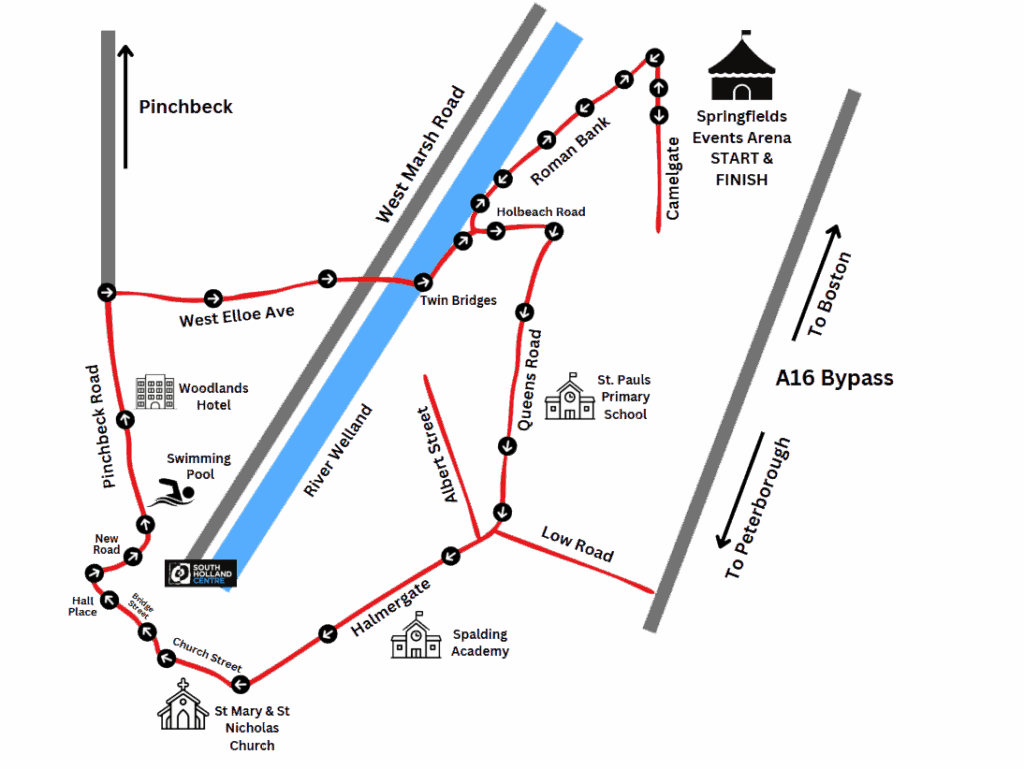
There are some changes to this year’s event with the start and finish site now at Springfields Events Centre and Arena.
The route around Spalding is virtually the same, with the addition of Roman Bank being the main exit and entry road for the parade.
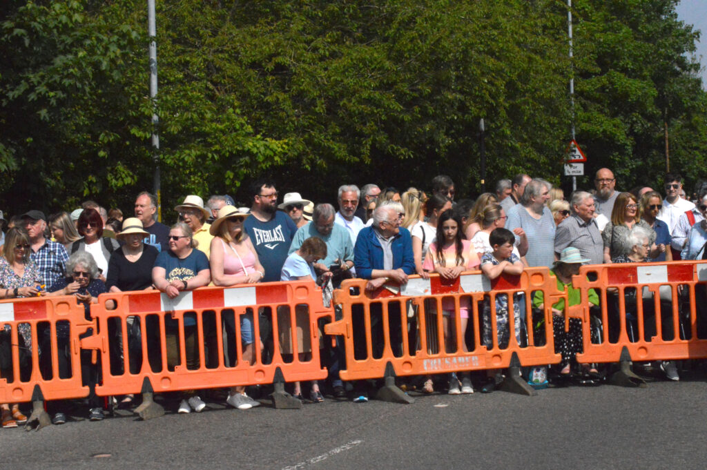
Organisers aim to keep all road closures to a minimum and will be operating a rolling scheme, meaning that once the parade has fully passed, where safe and possible, the road will re-open.
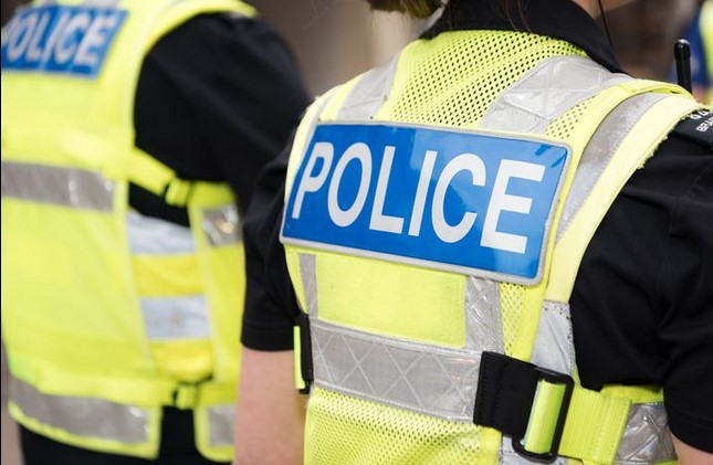
A traffic management and security company will be working together with Lincolnshire Police and The Spalding Flower Parade team to ensure that the town parade is managed safely and efficiently.
The parade will leave Camelgate at around 11am and make its way round the route (see centre pages).
Road closures, in some cases, will start to be put in place ahead of the scheduled departure time.
If you have any questions regarding road closures, please email the Event Controller at [email protected] or send a direct message via the official Facebook page.
The following roads will be closed or restricted: Harveys Close, Castle Close, Royce Road, St Paul’s Road, Thames Road, Telford Court, Halmer Paddock, Culpin’s Close, Avebury Gardens, Neville Avenue, Maple Grove, Halmer Gardens, Cley Hall Drive, Exeter Drive, Grange Drive, Holland Road, Stonegate, Love Lane, High Street, Double Street, Churchgate, Bridge Street, Swan Street, Red Lion Street, Broad Street, Westlode Street, Kings Road, Forge Close, Paddock Green, Castlefields, Pool Close, Calderdale Drive, Greenrigg Gardens, Banbury Close, Ladywood Road, Oakley Drive and Meadow Close.